
FAQs
- Existing native vegetation must be retained in the buffers;
- Buffers must be maintained in as natural a condition as possible;
- When permitted uses other than agriculture or forestry cease, the impacted buffers must be restored to this natural condition. Buffer restoration is not required for periods of inactivity in agriculture or forestry operations.
- See section 30.8.6(A)on page 28ofthe draft for more details
- Agriculture and forestry
- Utilities, transportation improvements, public water and sewer facilities, utility poles, fences
- Water-dependent facilities like docks
- Trails and passive recreation facilities
- Buffer vegetation management, tree planting, etc.
- Archaeological and historic-preservation projects
- See Section 30.8.7 on page 29 of the draft for more details and specific requirements
- Not within a water supply protection area
- 100 feet wide on each side of any perennial stream and contiguous nontidal wetlands
- Within a water supply protection area
- The wider of either
- 100 feet on each side of any perennial or intermittent stream and contiguous nontidal wetlands, or
- the limits of the Flood Hazard Overlay District
- The wider of either
- 200 feet located adjacent to and landward of any such impoundment as measured horizontally from the limits of the Flood Hazard Overlay District
- The wider of either
- 100 feet on each side of any perennial or intermittent stream and contiguous nontidal wetlands or
- the limits of the Flood Hazard Overlay District
What are the new requirements?
The ordinance would require that, except in parts of the buffers used for listed permitted uses:
Permitted uses in the buffers include:
Some specific uses, most related to necessary infrastructure, can be permitted within the buffers, but only with the implementation of a County-approved mitigation plan. See Section 30.8.8 on page 31 of the draft for more details on these uses. See Section 30.8.9 on page 33 of the draft for mitigation-plan standards.
Permitted uses are subject to performance standards that minimize impacts to land and vegetation in the buffers (see section 30.8.6(B) on page 29 of the draft for more details.
Where would the new buffer requirements apply?
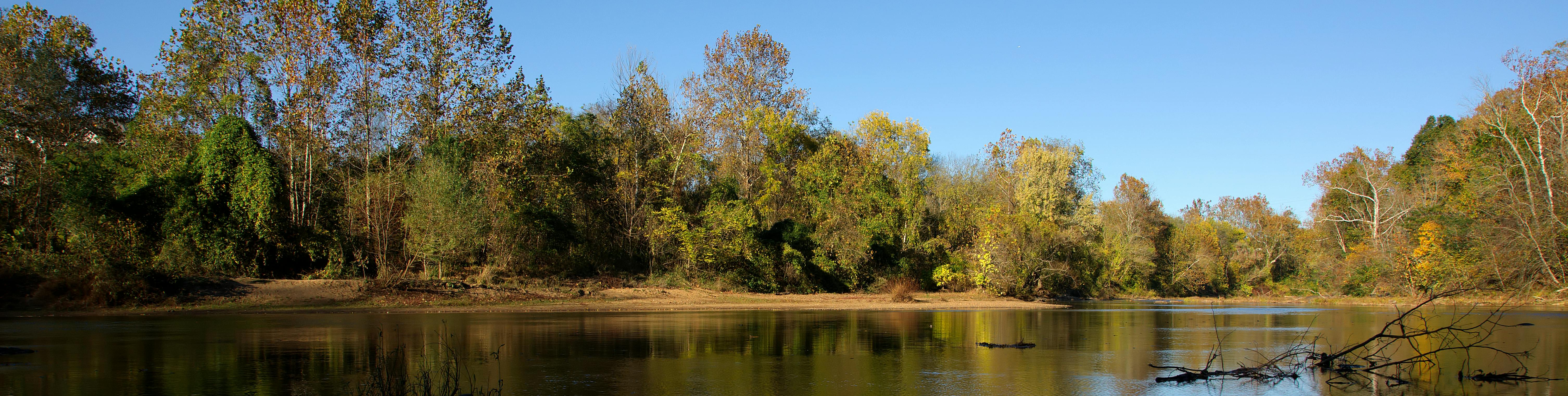
The proposed riparian buffers would be located as shown below. These buffers are the same as the buffers in the current Water Protection Ordinance (as shown on gisweb.albemarle.org, under Maps>Overlays).
Development Area
Public Water Supply Impoundments
All other locations